


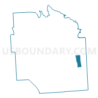
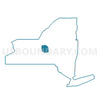
Voting District 140003, Onondaga County, New York
About
Outline

Summary
| Unique Area Identifier | 633209 |
| Name | Voting District 140003 |
| County | Onondaga County |
| State | New York |
| Area (square miles) | 6.26 |
| Land Area (square miles) | 6.25 |
| Water Area (square miles) | 0.01 |
| % of Land Area | 99.85 |
| % of Water Area | 0.15 |
| Latitude of the Internal Point | 42.96205570 |
| Longtitude of the Internal Point | -75.96934870 |
Maps

Graphs
Select a template below for downloading or customizing gragh for Voting District 140003, Onondaga County, New York


Neighbors
Neighoring Voting District (by Name) Neighboring Voting District on the Map
- Voting District 100020 100025, Onondaga County, NY
- Voting District 100026, Onondaga County, NY
- Voting District 140004, Onondaga County, NY
- Voting District 140005, Onondaga County, NY
- Voting District 140006, Onondaga County, NY
Top 10 Neighboring County Subdivision (by Population) Neighboring County Subdivision on the Map
Top 10 Neighboring Unified School District (by Population) Neighboring Unified School District on the Map
- Fayetteville-Manlius Central School District, NY (25,090)
- Cazenovia Central School District, NY (10,532)
- Fabius-Pompey Central School District, NY (4,821)